The India Meteorological Department (IMD) has predicted a period of unstable weather conditions across various parts of north India on November 12, with rain and snowfall expected in the western Himalayas. The IMD has also identified an emerging system over the Bay of Bengal that could develop into a depression by the weekend, potentially bringing more rain to southern India.
On Thursday, the western Himalayas, including Jammu and Kashmir, Ladakh, and adjoining regions are expected to experience fairly widespread to widespread rainfall or snowfall. Isolated heavy rainfall is also likely in these areas, with the potential for hailstorms, thunderstorms, and lightning. Himachal Pradesh could witness isolated to scattered rainfall, accompanied by thunderstorms and lightning at some locations. Uttarakhand might experience isolated to scattered rain between November 12 and 14.
The weather system is expected to impact the plains as well, with isolated rainfall predicted over Punjab on November 12 and 13. This weather pattern is associated with a western disturbance currently affecting the region, which are weather disruptions that originate in the Mediterranean area and travel eastwards, often leading to rain and snowfall in northwestern India during winter months.
The most significant developing weather system is over the south Andaman Sea, where a low-pressure area is likely to form around November 13. This system is expected to move northwestwards, strengthen into a well-marked low-pressure area around November 14 and potentially become a depression by November 15. This developing system could impact rainfall patterns across the southern peninsula in the coming days.
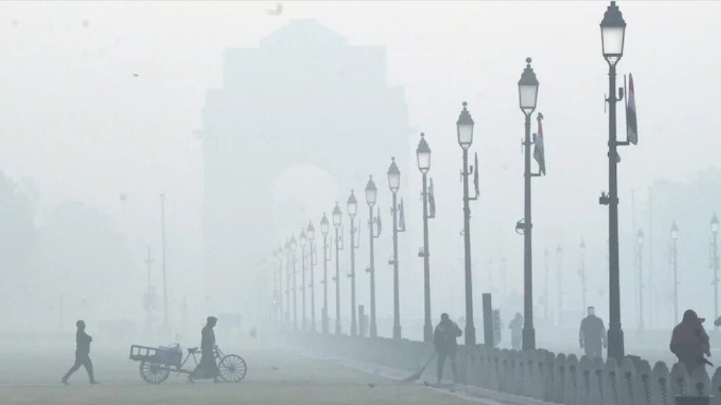
For Delhi, the IMD has forecast partly cloudy skies on November 12, with mist or shallow fog likely at most places during the morning. The maximum temperature is expected to remain between 27-29°C, while the minimum may range from 15-17°C.